
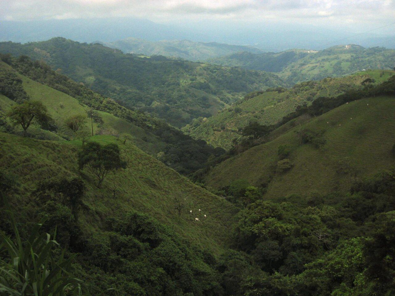
Costa Rica looks small on a map, and in distance it is. In time it is not. Mountain ranges run through the middle of the country, roads wind and climb, rain closes routes without warning and a journey of a hundred kilometres can take a long half day. Whether you drive or ride buses, plan for that, and the trip gets much easier.
The main roads
A few highways do most of the work. The Interamericana crosses the country from Nicaragua to Panama, running north through Guanacaste and south over the high pass of the Cerro de la Muerte, which climbs above 3,000 metres and is often wrapped in fog. A toll road links San José with the central Pacific coast. Route 32 runs from the capital through Braulio Carrillo to Limón on the Caribbean coast; it is steep, busy with trucks and frequently closed by landslides in heavy rain.
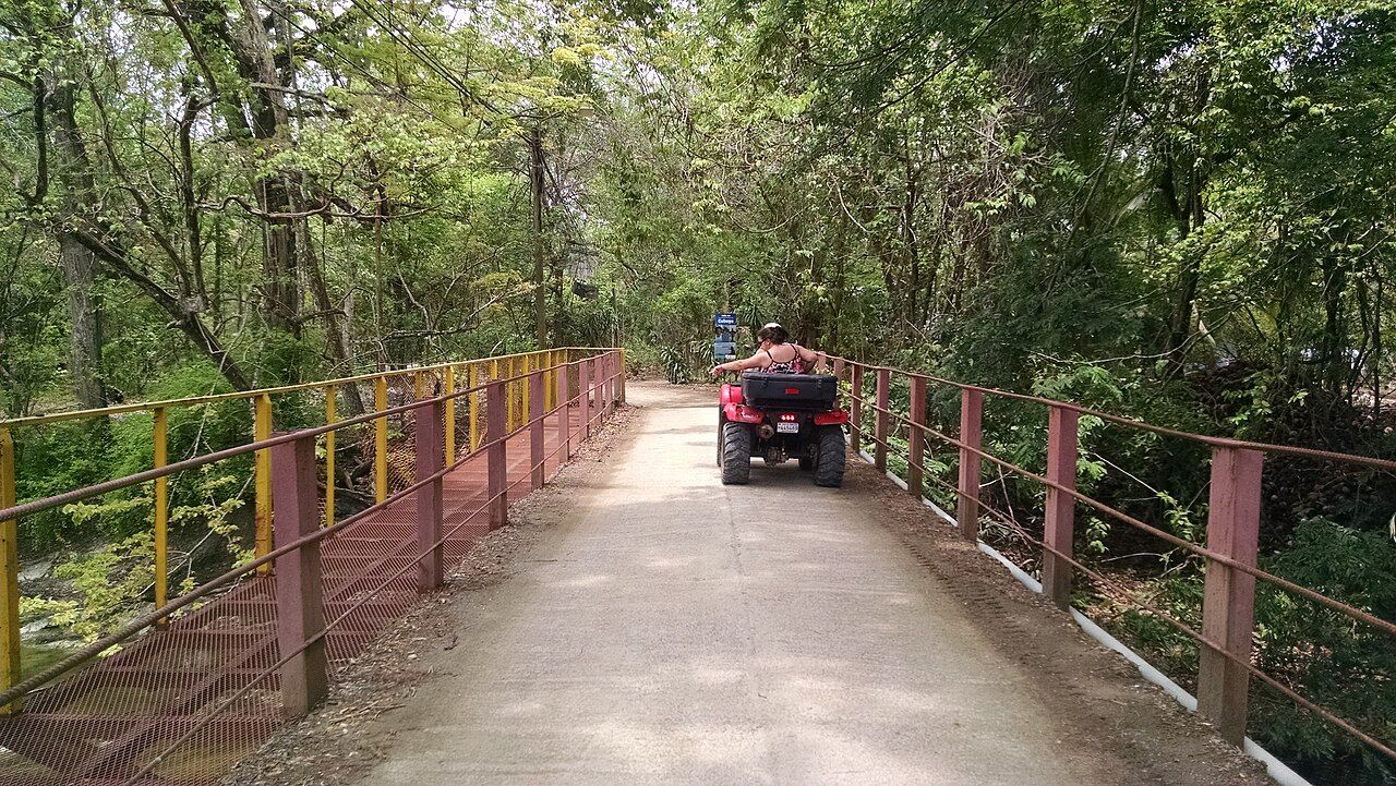
Off the main routes, roads narrow quickly. Expect potholes, missing shoulders, sharp bends and one-lane bridges, where a sign tells one direction to give way. Speed bumps appear without warning in villages. Road works and closures are common, so check conditions before long drives.
Fuel stations are attended, so an attendant fills the tank for you, and they thin out in remote areas. Fill up before heading onto the peninsulas or into the mountains. On the high pass south of the capital, fog can cut visibility to a few metres within minutes; slow right down, use dipped headlights and leave a long gap to the vehicle in front.
Rain, mud and river crossings
In the green season, unpaved roads turn to clay and ruts, landslides block mountain routes and rivers rise quickly after afternoon storms. Some coastal routes cross rivers without bridges, for example on parts of the Nicoya peninsula's back roads near the surf towns, and the route toward Drake Bay on the Osa.
The rule for river crossings is plain. If you cannot see the bottom, do not drive in. Walk it first where it is safe to do so, watch how local vehicles cross, and if in doubt, wait or turn around. Water damage is often excluded from car rental cover, and a stalled car in a rising river is a real danger. In some lowland rivers there are also crocodiles, which is reason enough not to wade.
Do you need a 4x4
For the main highways and paved routes between tourist towns, a normal car is fine. For the Nicoya back roads, the Osa, steep mountain tracks and many places in the green season, a four-wheel-drive vehicle with good clearance makes the difference between arriving and getting stuck. Clearance matters as much as the drive system on rocky, rutted roads.
Rental contracts usually require a valid licence and passport, and the rules on how long a foreign licence can be used, and on mandatory insurance, should be checked before you go. Read what your cover excludes, inspect the car with the agent and photograph any damage.
Habits that keep you safe
Avoid driving after dark where you can. Many roads have no lighting or painted lines, and pedestrians, cyclists, cattle and dogs use them at night. Darkness falls early and fast, around six in the evening all year, so plan to arrive by late afternoon.
Seatbelts are compulsory, phone use while driving is banned and police checkpoints are common. Speed limits are low and enforced. Empty the car of anything worth taking before you park, even for a few minutes; theft from cars is a real problem. Park in guarded or busy spots where you can.
Navigation apps work well in most areas but sometimes send drivers onto steep, rough or flooded shortcuts. If a road looks wrong, it probably is. Download offline maps for areas with weak signal. San José also limits private cars in the centre on weekdays based on the last digit of the plate.
Public buses
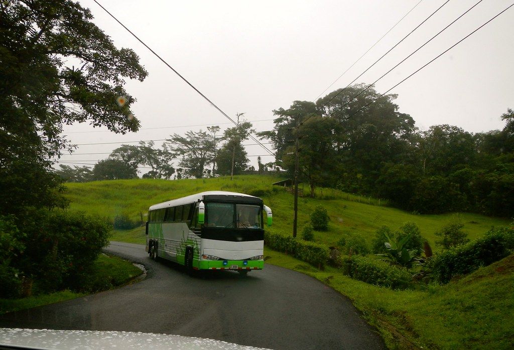
Public buses reach nearly every town in the country, and they are cheap, frequent on main routes and used by everyone. From San José, services leave from several different terminals depending on the direction, so confirm which one serves your route. Long-distance buses may sell seats in advance at busy times, especially around Easter and the end-of-year holidays.
Expect slow journeys with stops in every town, and carry cash in small bills, as card payment is not universal. Keep your bag on your lap or under your seat rather than in the overhead rack. Schedules shift, so confirm departures, and ask the driver or other passengers if you are unsure where to get off. Most are happy to help.
Shuttles, ferries and other ways
Shared tourist shuttles run between the main hubs, picking up at hotels and dropping at the door. They are faster and simpler than public buses, though less flexible and more expensive. Small domestic flights also link San José with distant areas such as the south Pacific and the Caribbean coast, saving a long day on the road.
Car ferries cross the Gulf of Nicoya from Puntarenas to the peninsula, cutting out a long drive around. Some places, like Tortuguero, have no road at all and can only be reached by water. Build these legs in with slack, keep your plans flexible, and remember that the slower routes are often where the country shows itself best.