
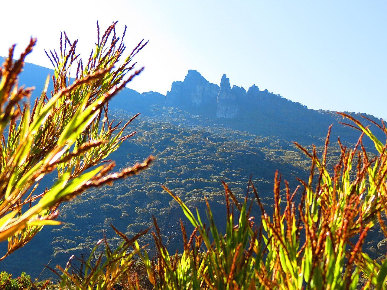
Cerro Chirripó is the highest point in Costa Rica, a bare rock summit of about 3,820 metres in the Cordillera de Talamanca. Most people reach it over two days: a long, steep climb to a base camp high in the mountains, a short night, and a pre-dawn walk to the top for sunrise. It is a serious hike, not a technical one, and the hardest parts are the length, the altitude and the cold.
From San Gerardo de Rivas to the base camp
The trail starts above San Gerardo de Rivas, a farming village in a river valley a short drive from San Isidro de El General. The trailhead sits at roughly 1,500 metres, and the base camp near the Crestones rock towers sits at about 3,400. In between lie around fourteen and a half kilometres of path with almost no flat ground. Kilometre markers count you up, which is either reassuring or demoralising depending on the hour.
The first hours pass through pasture and then montane forest of oaks hung with moss and bromeliads. Higher up, the trees shrink and open out, and you cross slopes where old fires left silver trunks standing among regrowth. A notoriously steep stretch partway up is known locally as the Cuesta de los Arrepentidos, roughly the hill of those who wish they had not come. Most fit hikers take somewhere between six and ten hours to reach camp.
Start at first light or earlier. The morning is cooler, afternoon rain and cloud are common even in the dry months, and arriving in the dark is miserable. Carry enough water for the stretches between refill points, eat steadily, and set a pace you can hold for the whole day rather than the first hour.
Fitness counts for more than gear. If you have never walked uphill for a full day, train beforehand with long climbs carrying a loaded pack, and test your boots on them. People who struggle usually do so because the climb goes on far longer than they expected, not because any single section is hard. Turning back is always an option, and below the halfway point it is an easy one.
Permits, the base camp and the rules
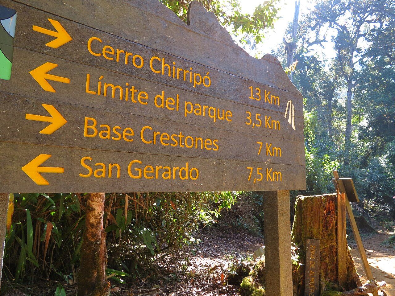
Chirripó National Park limits how many people can sleep on the mountain each night, and in the dry season those spaces fill well ahead. Overnight permits are reserved through the national park system, and you can expect to register at the park office in San Gerardo before you start.
The base camp is a simple building with bunk rooms and shared facilities, run under park rules. Sleeping anywhere else on the mountain is not allowed. Some services in the village can carry bags up for hikers, which makes the climb easier on the back but not on the lungs. Fires are banned, and everything you carry up comes down with you.
It is a serious hike, not a technical one, and the hardest parts are the length, the altitude and the cold.
Rangers can close the trail in bad weather, during fire risk or for maintenance. If they ask you to wait or turn around, that decision is final, and usually wise.
Páramo, lakes and real cold
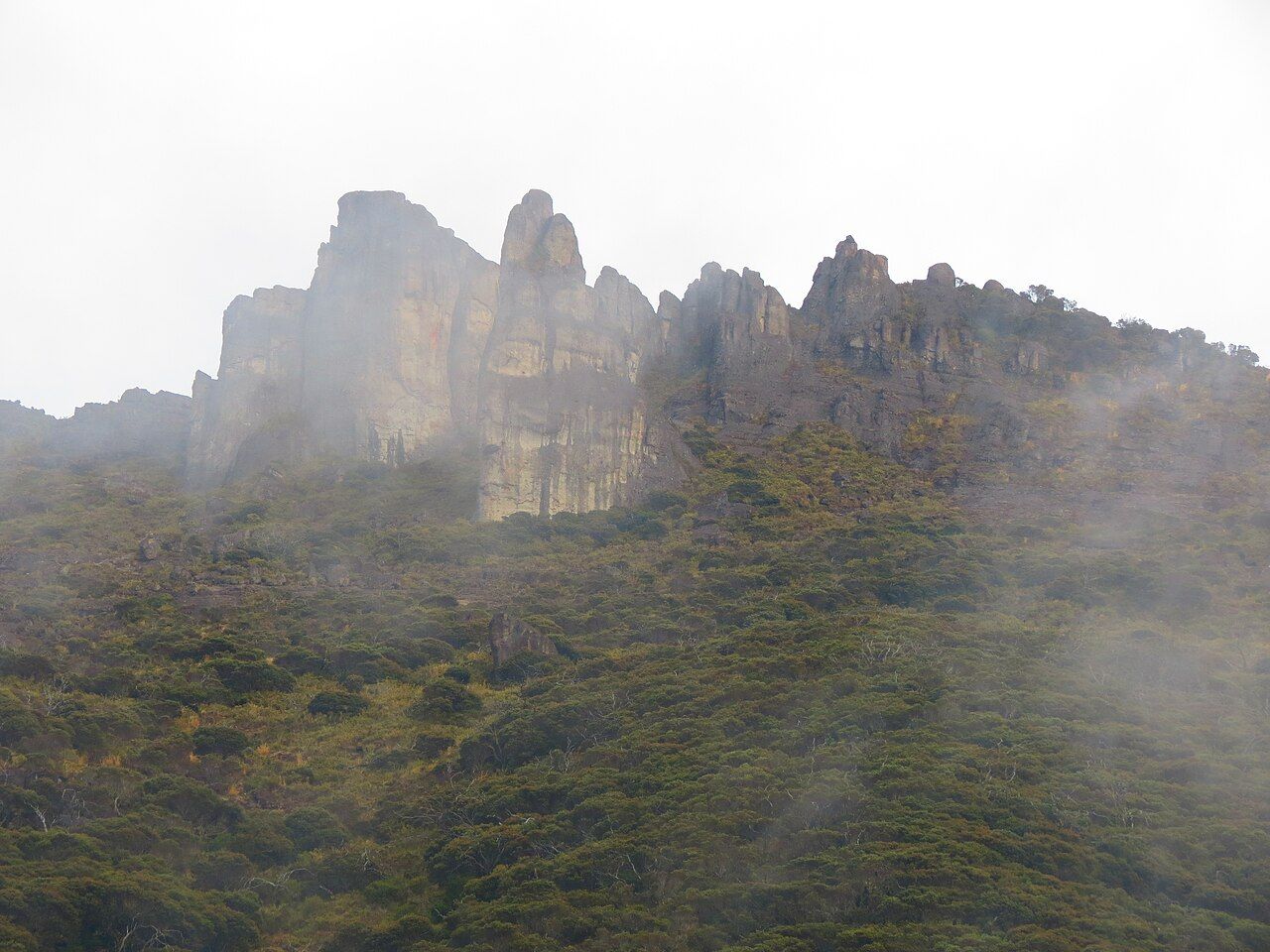
Above the forest the landscape changes completely. This is páramo, a high tropical grassland of dwarf bamboo, tough shrubs and low flowering plants that looks more like the Andes than the rainforest most visitors expect. During the last ice age small glaciers carved bowls and valleys into the range, and they left a string of cold lakes beneath the summit, the largest called Lago Chirripó. The Valle de los Conejos and the jagged Crestones give the area its shape.
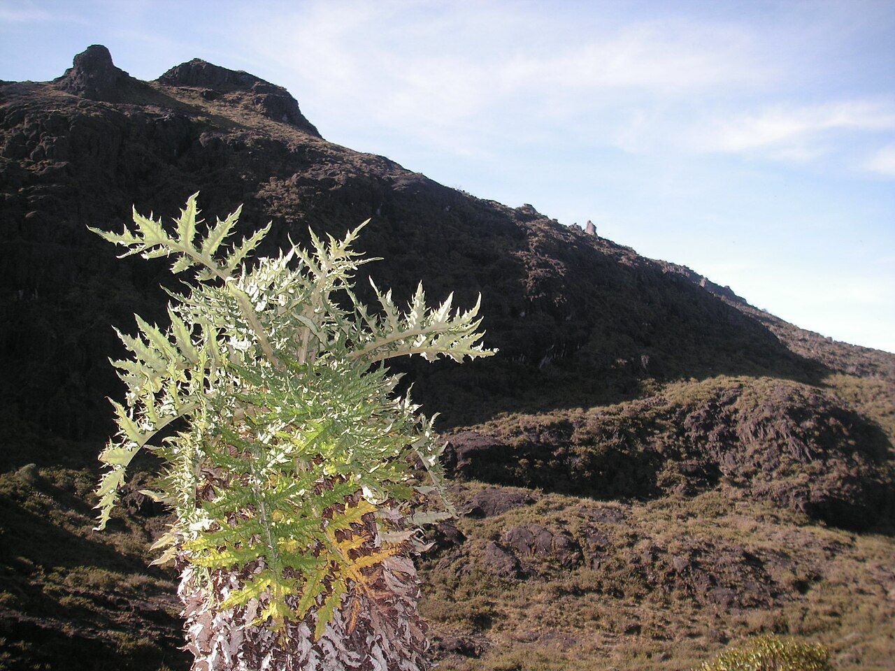
The cold surprises people who packed for a tropical holiday. On clear dry-season nights temperatures can fall below freezing, and frost on the grass at dawn is normal. Wind drives the chill further, and if your clothes are wet from sweat or rain the risk of hypothermia is real. Bring an insulated jacket, a warm hat, gloves and a dry base layer kept sealed until camp.
Weather on the high ground can change within minutes. Mist rolls in, visibility drops to a few metres and the path across open rock becomes hard to follow. If cloud closes in, stay together, follow the markers closely and be willing to wait at camp rather than push on blind. Lightning is a hazard on exposed ground in the wet months; get off the ridges when storms build.
Altitude matters too. Many people feel a headache, poor sleep or loss of appetite at the base camp. Drink water, go slowly, and if symptoms worsen, descend. Spending a night or two higher in the Central Valley before the climb helps; the crater rims described in Poás and Irazú make an easy warm-up at altitude.
Sunrise from the summit
The classic plan is to leave the base camp in the small hours by headlamp and walk the remaining five kilometres or so to the summit, gaining a few hundred metres on rocky ground. The last section is a scramble over boulders that needs hands as well as feet, but no ropes. Allow around two hours and more if you are slow at altitude.
On a clear morning the view is the reward for everything before it: the glacial lakes in their bowls below, the long ridges of the Talamanca rolling away, and on the best days both the Pacific and the Caribbean catching the first light. Clouds often rise from the valleys by mid-morning, so the sunrise window is the one to aim for.
Afterwards most hikers return to camp, collect their bags and descend all the way to San Gerardo the same day. That is close to twenty kilometres downhill, and it punishes knees more than the climb punished lungs. Poles help a great deal.
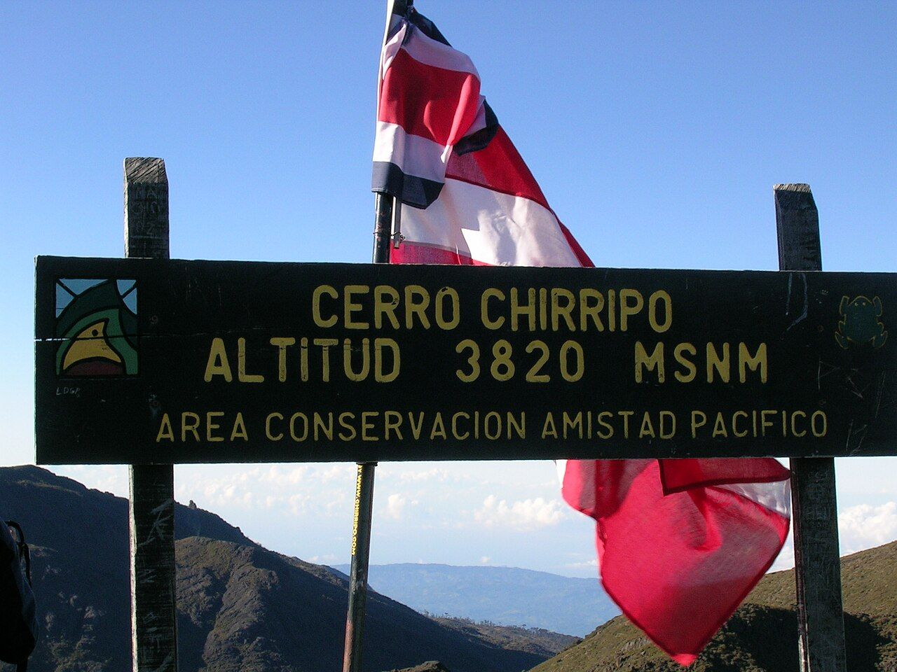
When to go and how to treat the mountain
From December through April the skies are clearest, the nights coldest and the heaviest demand for permits. In the green months the trail is muddier, views are rarer and afternoon storms are frequent, though the forest is at its most alive. The full picture is in the guide to green season and dry season.
The Talamanca range is a vast protected block shared with neighbouring parks and with Indigenous territories on its slopes, including Cabécar communities on the Caribbean side. Stay on the trail, leave rocks and plants where they are, and take home every wrapper. The páramo grows slowly and scars for years.
Getting to San Gerardo by public transport usually means a bus from San José to San Isidro de El General and a local connection up the valley; the road over the high pass on the way can be foggy, a point covered under driving and buses. Arrive the afternoon before, sleep low, and give yourself a spare day in case weather pushes the climb back.