
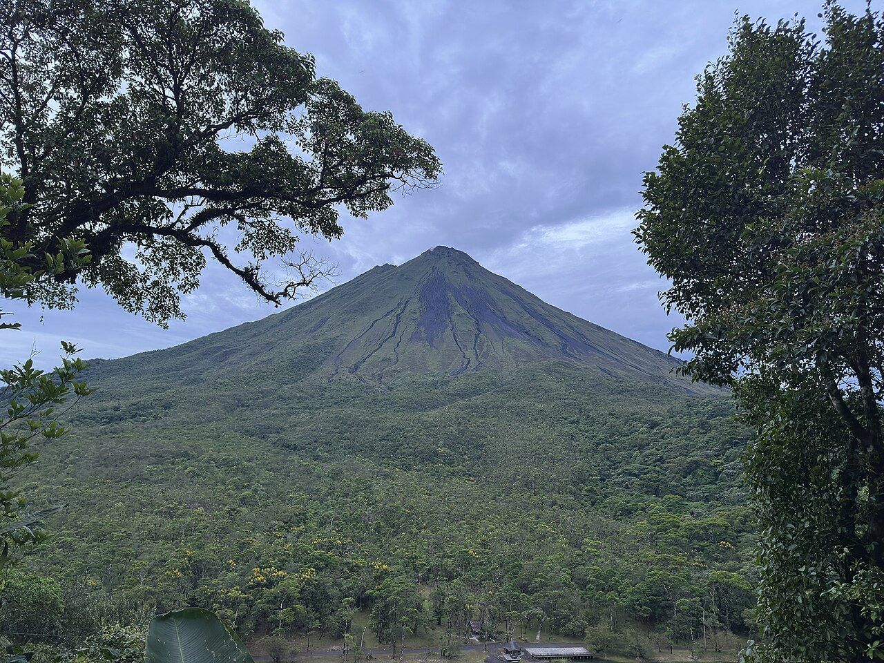
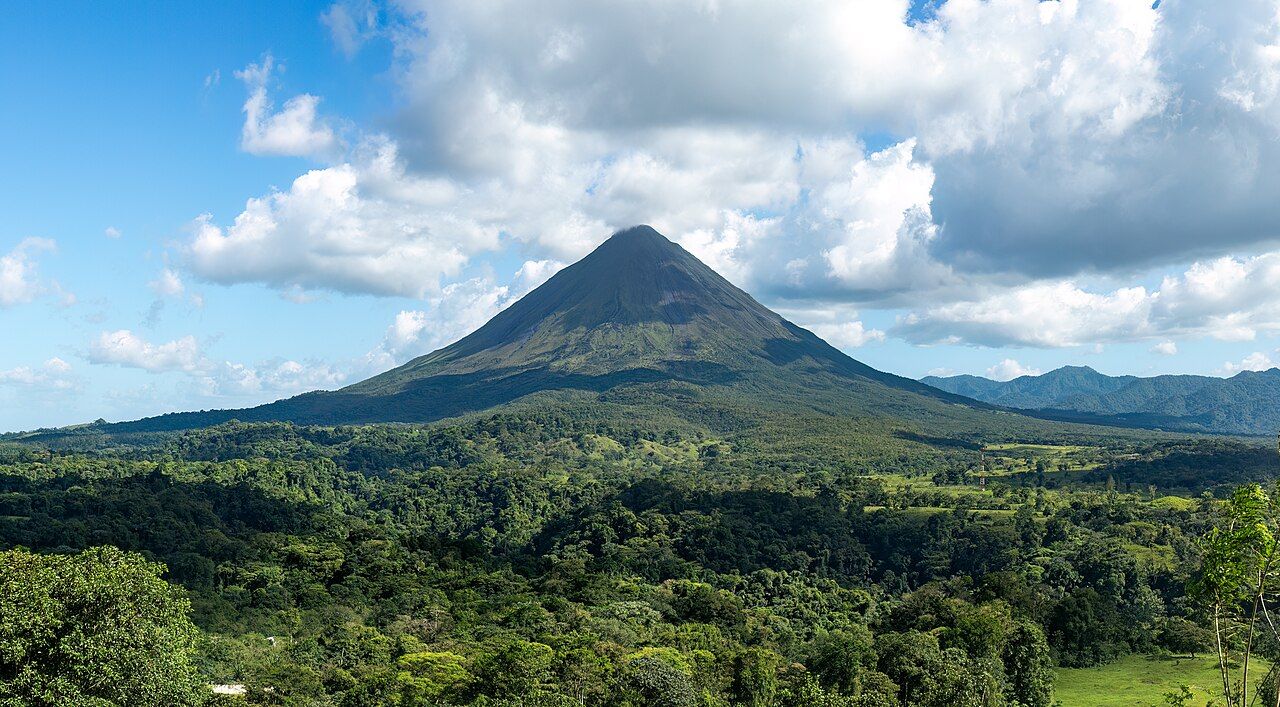
Arenal looks the way a child draws a volcano: a steep, almost symmetrical cone rising to roughly 1,670 metres out of pasture and rainforest in the northern lowlands, with a long lake curling around its western side. For four decades it was one of the most closely watched volcanoes in the Americas, rolling glowing rock down its flanks on clear nights. Today it rests, its summit usually wrapped in cloud, and the reasons to come are the walking, the forest, the water and the raw ground the eruptions left behind.
A mountain that woke up in 1968
Before 1968, people farming around the mountain mostly thought of it as a dormant, forested hill. That changed in late July 1968, when a violent eruption blasted open new craters low on the western flank and sent hot rock, gas and ash across farms. The villages of Tabacón and Pueblo Nuevo were destroyed and more than eighty people died.
What came next was unusual. Rather than falling silent, Arenal kept erupting almost without pause for about forty years. Lava crept down the slopes, explosions rattled windows across the valley, and the small town of La Fortuna grew up on the spectacle. Around 2010 the activity faded, and since then the volcano has been in a resting phase.
The cone and much of the forest around it are protected within Arenal Volcano National Park, which also takes in Cerro Chato, an older, collapsed volcano next door whose crater holds a small green lake. Together they make a compact lesson in how volcanoes are born, grow and wear away.
Walking the lava flows
Climbing the cone is prohibited, and for good reason: the upper slopes are loose, gases can gather near the summit and rockfalls still happen. The trails stay on the lower flanks instead, where you can watch the forest reclaim the ground. Some paths cross a flow from the early 1990s, now a field of dark, broken blocks with ferns, grasses and young trees forcing their way up through the cracks. Others wind through older forest where a single enormous ceiba spreads above the trail and oropendolas hang their woven nests.
The rock is sharp and uneven, so solid shoes matter more than distance. Most loops run a few kilometres and gain little height, which makes them manageable for families who watch their footing. The viewpoints on the flows look straight up at the cone on one side and across the lake on the other.
The rock is sharp and uneven, so solid shoes matter more than distance.
Beyond the park boundary, private reserves and the slopes of Cerro Chato add longer and steeper routes. The Chato climb is muddy and slippery in places, and access to the crater lake has changed over the years. Ask about the current rules, start early, and turn back if rain turns the descent into a slide.
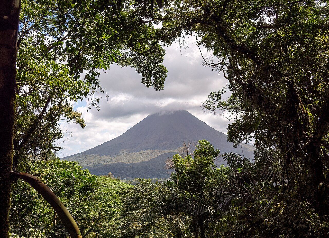
Morning gives the best odds of seeing the summit. On most days cloud builds by late morning, and in the wetter months the top can hide for days at a time. Patience pays; so does looking up whenever the light changes.
Lake Arenal and the wind
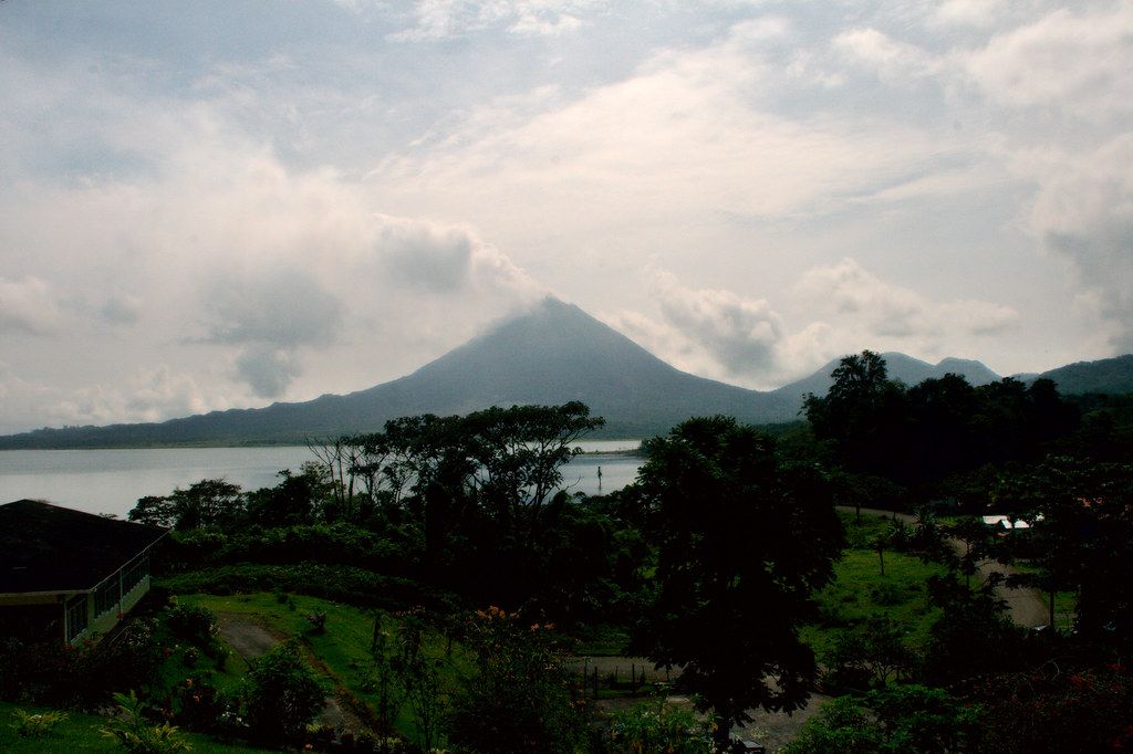
Lake Arenal is the largest body of fresh water in the country, but it is only partly natural. A dam built in the late 1970s raised a much smaller lake into a reservoir some thirty kilometres long to feed hydroelectric turbines, and the old villages of Arenal and Tronadora were moved to higher ground before the water rose. On calm days you would never guess any of that from the shore.
The road along the northern shore bends through pasture and forest with the cone behind you, and it is the slow, scenic way west toward Tilarán and onward to the cloud forest of Monteverde. At the lake's western end, steady trade winds funnel across the water for much of the dry season, which has made it a known spot for windsurfing and kitesurfing.
That wind is also the main hazard for anyone paddling. Steep chop can build within minutes. If you take a kayak or a paddleboard out, go early, stay close to shore, wear a life jacket and head in as soon as you see whitecaps. Swimming far from shore in a deep, cold reservoir is a different thing from a dip at the beach.
Hot rivers and heat underground
Rain that soaks into the volcano's slopes is warmed at depth and comes back up in springs and streams hot enough to sit in. Around La Fortuna much of that water runs through developed pools on private land with their own rules and entry, but a few public stretches of warm river are used by locals and visitors alike.
Treat a free hot river like any other river. Water levels can rise fast after heavy rain upstream, the rocks are slick, and there are no lifeguards. Go in daylight, keep children within reach, and leave if the water turns brown or starts to rise. You are also a guest in a place people care about: carry out every scrap of rubbish, keep music off, and park where you will not block anyone's gate.
Cold water is the counterpoint. The La Fortuna waterfall drops roughly seventy metres into a forest pool at the bottom of a long staircase, and returning to the top is a workout in itself. Follow posted limits on where to swim; the current near the plunge is stronger than it looks.
Planning around cloud and rain
Arenal sits where Caribbean moisture meets the mountains, so rain is possible in any month. The driest stretch usually falls between February and April, and many travellers find the green months rewarding too, with fewer people on the trails and a forest that is loud with frogs after dark. The trade-offs are laid out in the guide to green season and dry season.
La Fortuna is a few hours by road from San José, and direct and connecting public buses run there daily; timetables change, so confirm them before the day. Read up on driving and buses if you plan to explore the lake road yourself, especially after dark, when cattle, cyclists and fog share the curves.
Animals are never far away around the volcano. Coatis work the roadsides and parking areas because people feed them, which makes them bolder and puts them under car wheels. Do not add to it; the reasons are set out in watching wildlife without harming it. Toucans, motmots and howler monkeys are common in the forest edges, and early mornings are best for all of them.
Hanging bridges in the forest around Arenal give a slower, quieter way into the treetops than a cable ride, and they reward binoculars. Whatever you choose, plan the day around the mountain rather than the clock: walk early, soak or rest when the afternoon rain arrives, and look up again at dusk in case the cone has cleared.