
Forest on the doorstep of the capital
Braulio Carrillo National Park covers a huge stretch of mountains just north and east of San José, from the high slopes of Barva Volcano down toward the Caribbean lowlands. It is steep, wet, and largely untouched, a landscape of deep river canyons, cloud-wrapped ridges and dense rainforest.
Most people know it only from the car window. Route 32, the main highway from San José to the Caribbean port of Limón, cuts straight through the park, and the forest closes in on both sides within minutes of leaving the city. The park was protected at the time the highway was built so that the road would not open the forest to logging and settlement, and that decision is why the drive is still so green.
The park's range of altitude is what makes it special. In a short distance the land falls from cold, mossy forest near the volcano summits to warm, tall rainforest in the foothills, and each band of height has its own trees, birds and frogs. Few places let you cross so many of those bands in a single morning's drive, and fewer still sit so close to a capital city.
Rain, cloud and landslides
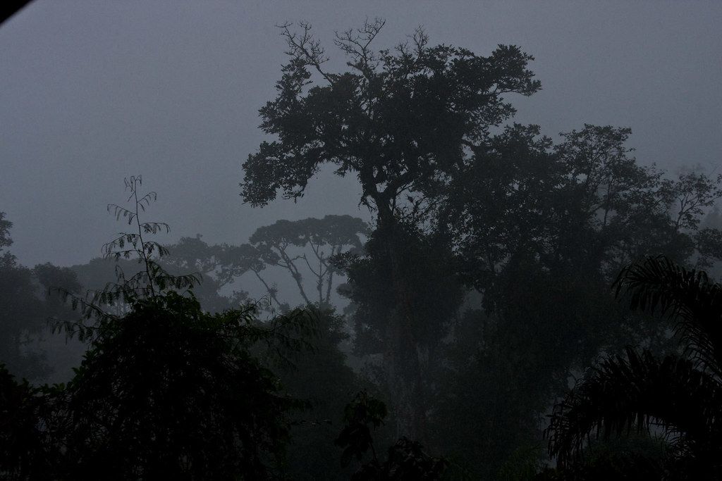
This is one of the wettest areas in Costa Rica. Clouds coming off the Caribbean hit the mountains and drop their water, and the park receives heavy rain in every month. There is no reliable dry season; the weeks from February to April are often a little less wet, but plan for rain whatever the date.
The steep slopes and constant rain make the highway prone to landslides. The road is closed at times, sometimes for hours, after heavy storms. Fog can be thick, especially near the tunnel at the San José end and on the higher sections.
- Do not stop on the shoulder to look at the view; trucks use this road heavily and there is little room.
- Use only official parking areas at trailheads.
Read up on driving and buses in Costa Rica before you take the road.
The Quebrada González trails
The most accessible part of the park for walkers is the Quebrada González sector, right beside Route 32 on the Caribbean side of the mountains. Here the forest is lower and warmer, and short trails loop through it from a ranger station with parking.
The trails are well marked but steep in parts, with roots, mud and slippery steps. They pass giant trees, palms, streams and small waterfalls. Within a couple of hours you can see a good slice of Caribbean-slope rainforest without a long drive.
This sector is known among birders for mixed flocks: busy groups of tanagers, honeycreepers, woodcreepers and flycatchers moving together through the canopy. They can appear and vanish within minutes, so walk slowly, stop often and listen. Toucans, trogons and hummingbirds are common, and lucky visitors may see rarer species of the foothills. Morning is best, before the rain sets in.
Keep to the trails, carry water and a rain layer, and watch where you step. Venomous snakes live here, as in all of Costa Rica's lowland and foothill forest. Do not walk alone off trail, and do not feed or approach animals.
The colours of the rivers
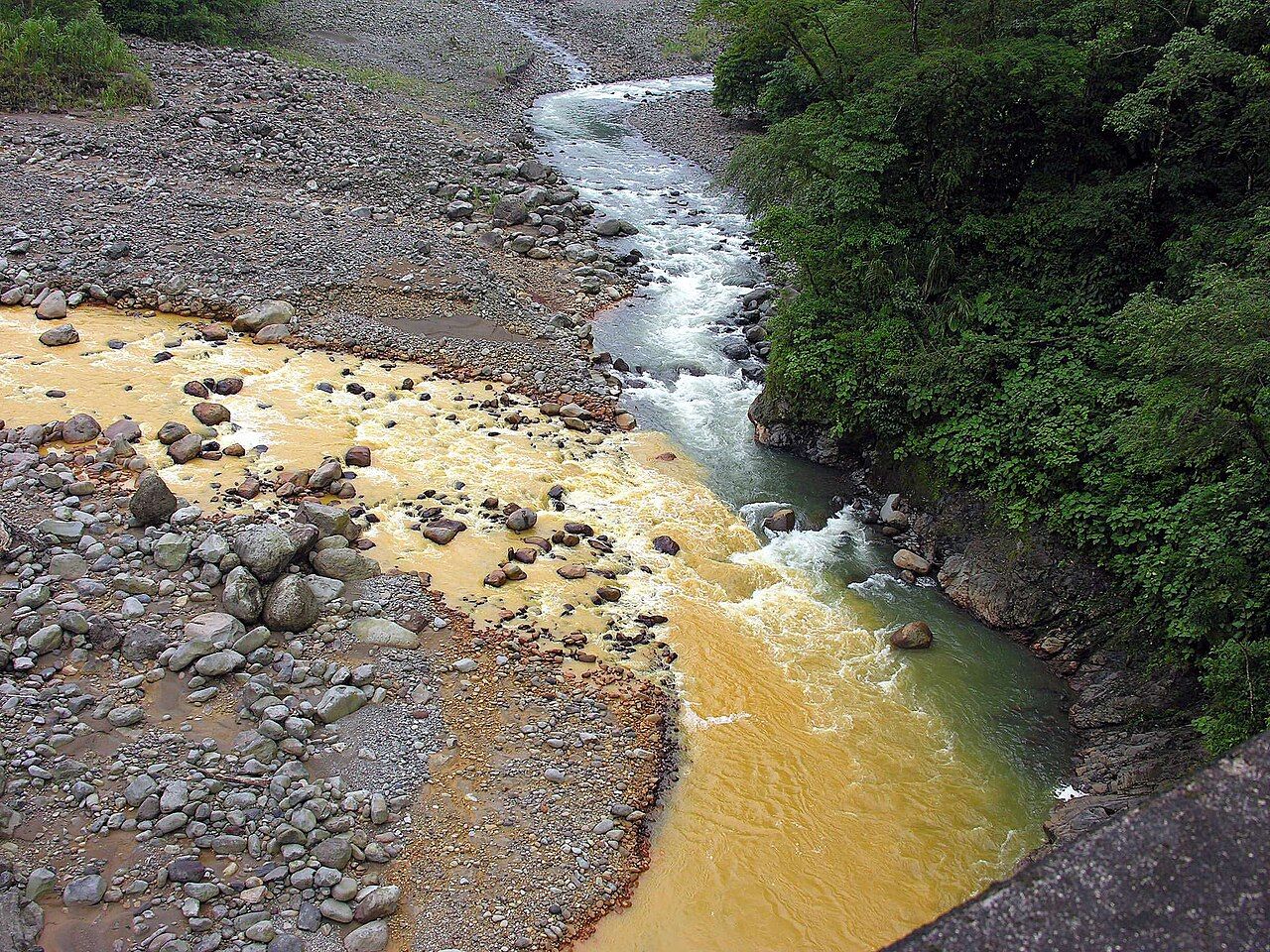
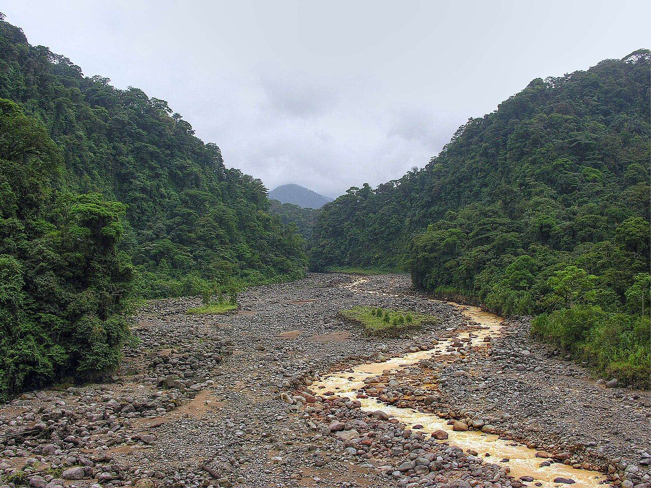
Driving down from the mountains, look for the bridge where the Río Sucio meets clearer water. The name means "dirty river", and its water is stained a yellowish brown by minerals from the volcanic slopes upstream. Where it joins a clear tributary, the two colours run side by side for a stretch before mixing.
It is a reminder that the park sits on volcanic ground. Rivers here carry sediment and dissolved minerals, and they rise quickly after rain. Do not swim or wade in them, especially after storms.
Barva Volcano
At the other end of the park, the Barva sector climbs the slopes of Barva Volcano, reached on mountain roads from the province of Heredia rather than from the highway. This is a very different place: high, cool and often wrapped in cloud, with oak forest, mosses and a crater lagoon surrounded by trees.
The road up gets rough near the top, and the final approach is on foot. Bring a warm layer and rain gear, start early to beat the clouds, and expect mud.
Between the lowland and the high sectors, the park protects an unbroken slope of forest from cloud-covered peaks down to the lowlands near Sarapiquí. That continuous forest allows birds and mammals to move up and down with the seasons, which few places in Central America still allow.
A stop on the way to the Caribbean
Braulio Carrillo fits easily into a drive from San José to the Caribbean coast. A morning walk at Quebrada González, then on to Limón and south toward Cahuita and the southern Caribbean, or north to Tortuguero's canals, makes for a good day.
The one thing to plan for, besides rain, is your car. Break-ins have been reported at trailheads and lookouts along the highway. Use official parking, leave nothing visible, and carry your valuables with you.
Public buses between San José and the Caribbean coast run along Route 32, and some will drop you near the Quebrada González entrance if you ask, though catching an onward bus from the roadside is less certain. Rangers can advise on trail conditions on the day.