
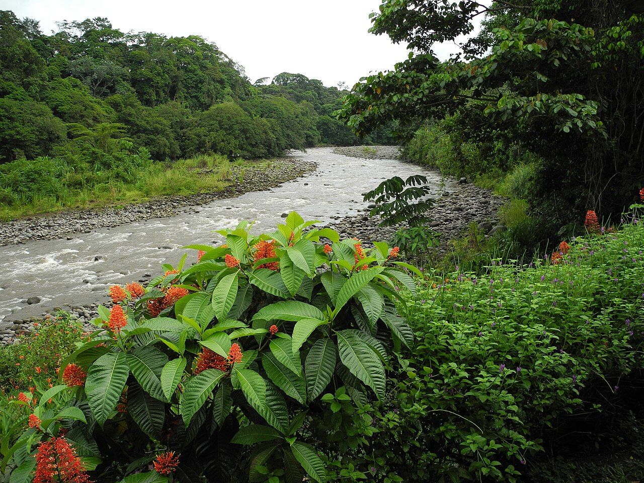
A river town in the lowlands
The Sarapiquí River rises on the slopes of the central volcanoes and runs north across the Caribbean lowlands until it joins the San Juan River on the border with Nicaragua. For a long time the river itself was the road. Puerto Viejo de Sarapiquí grew up as a river port where goods and people switched from boats to mule trails heading south toward the Central Valley.
Today the town is a small, practical place surrounded by cattle pasture, banana and pineapple farms, and patches of forest that are far more valuable than their size suggests. It makes a good base for a few days of easy rafting, forest walks and birding, and it is close enough to San José for a first stop after landing.
A simple rhythm works well here. Walk or bird at dawn, when the forest is loud and the air is cooler. Spend the middle of the day on the river, when the heat makes trail walking hard work. Rest through the afternoon rain, then go out again for a guided night walk to look for frogs, insects and sleeping birds. Three days is enough to see a lot without rushing, and the lowland forest here is a good contrast with the cloud forest and volcano slopes most visitors see next.
Gentler whitewater
The Sarapiquí and its tributaries offer the softer side of Costa Rican rafting. Sections run commercially are mostly Class II and III, with friendly waves, warm water and plenty of calm stretches between rapids. Slower float trips on the lower river suit families and anyone who wants to look for wildlife rather than paddle hard.
Easier water is not the same as no risk. The same rules apply as on any river: helmet and life jacket on and tight, feet up and downstream if you swim, and no standing in moving water. Levels rise quickly after rain in the mountains, so trips may be changed or cancelled at short notice. Certified guides and a proper safety talk matter here as much as on the bigger rivers. For the full picture of harder water, see the story on rafting the Pacuare River gorge.
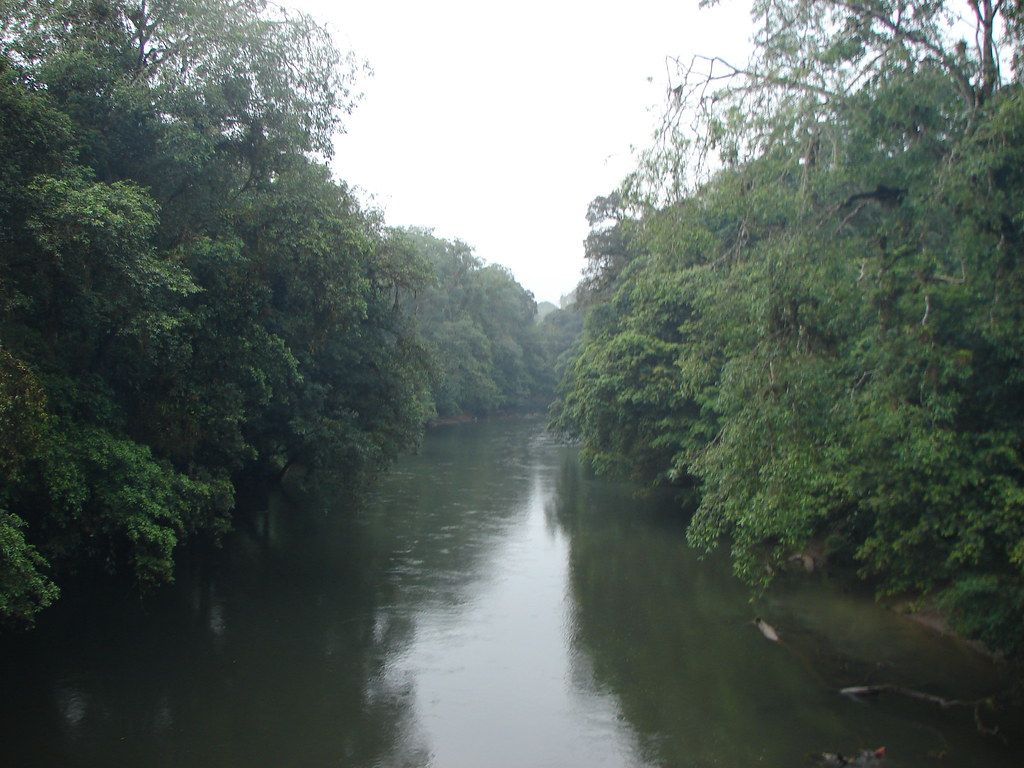
On float trips, watch the banks and the overhanging branches. Green iguanas bask on limbs above the water, herons and kingfishers fish the edges, and howler monkeys move through the trees. Boats should keep their distance and never pull in close to animals for a photo.
La Selva and the lowland forest
A few kilometres from town, La Selva Biological Station has been a centre of tropical research for decades. Its old-growth and recovering forest connects to Braulio Carrillo National Park, forming a corridor that climbs from the lowlands to the volcano slopes. That link lets birds and mammals move up and down the mountain with the seasons.
Visitors can usually walk part of the trail network, often with a naturalist guide; access rules, hours and fees change. The trails pass huge trees with buttress roots, swamp forest and river edges. Collared peccaries root along the paths, great curassows walk the forest floor, and leafcutter ants carry their loads across the trail in long lines.
The wider region holds other private reserves and forest patches, and simply walking a quiet country road in the early morning can be rewarding. Stay on trails, keep to the edges of private land, and ask before entering a farm.
Birds, frogs and the great green macaw
The Sarapiquí lowlands are among the richest birding areas in the country. Chestnut-mandibled and keel-billed toucans, collared aracaris, oropendolas with their hanging nests, trogons, tanagers and several kinds of hummingbird are all regular. Raptors circle over the pastures in the late morning heat.
The region is also a stronghold of the great green macaw, an endangered species that depends on the almendro tree for food and nest holes. Conservation work here has focused on protecting those trees and the forest around them. If you see a pair flying over, enjoy it from where you are and do not try to approach nests.
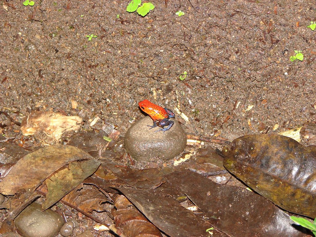
After dark and in wet weather, small poison frogs hop through the leaf litter, the red-and-blue strawberry poison frog among them. Look closely, never handle them, and let a guide point them out on a night walk. More advice is in the story on watching wildlife without harming it.
Rain, mud and bugs
This is the wet side of Costa Rica. Rain falls in every month, often in heavy afternoon bursts, and the trails stay muddy all year. The weeks from roughly February to April are usually a little drier, but there is no true dry season, so plan for wet days rather than hoping to avoid them.
- Wear closed shoes or rubber boots on trails; snakes such as the fer-de-lance live here, so watch where you step and where you put your hands.
- Use insect repellent, especially at dawn and dusk.
- Keep electronics in dry bags, and pack more socks than you think you need.
- Drink plenty of water; the heat and humidity are tiring.
Arriving at Sarapiquí
Two main routes lead north from San José. One crosses the mountains on the highway through Braulio Carrillo and then turns toward Puerto Viejo; the other climbs over the shoulder of Poás through Vara Blanca and drops through steep, beautiful country. Both take around two hours in good conditions, longer in rain or fog, and landslides can close either one for a time.
Public buses run from San José to Puerto Viejo de Sarapiquí, and local buses and taxis link the town with nearby villages and reserves. Driving gives more freedom for early starts at birding spots. Read up on roads and buses before you set out.