
A coast with its own history
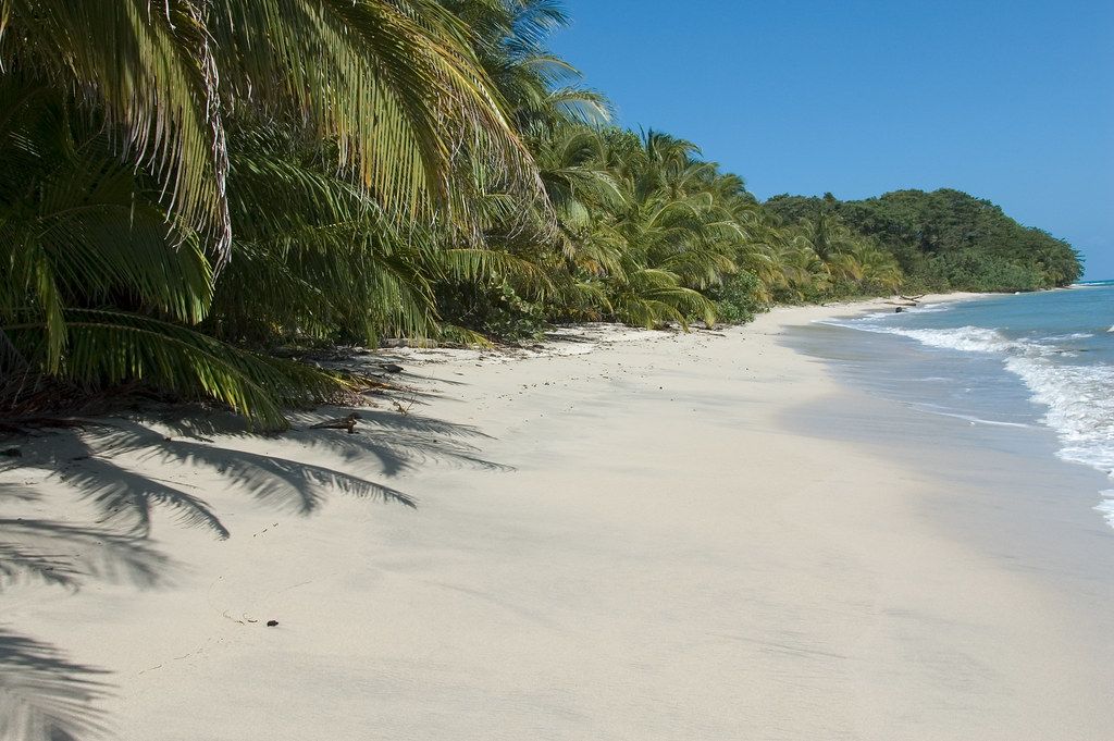
South of the port of Limón, the Caribbean coast of Costa Rica runs toward Panama past black and golden beaches, coral reefs and forest that comes right to the sand. It feels different from the rest of the country, and it is.
Many families here descend from Jamaican and other Caribbean workers who arrived in the late nineteenth century to build the railway to the coast and to work on banana and cacao farms. They brought an English-based Creole language, Protestant churches, cricket for a time, and a cooking tradition built on coconut, rice and beans and slow-simmered soups. For decades, Black Costa Ricans on this coast were treated as outsiders by the central government, and full citizenship rights came only in the middle of the twentieth century. That history still shapes the region.
Inland, in the Talamanca mountains, the Bribri and Cabécar peoples live in their own Indigenous territories. They are communities, not attractions; visits should happen only where communities invite them, on their terms.
The coastal trail at Cahuita
Cahuita National Park protects a point of land, its beaches and the reef offshore. A flat trail follows the coast between the entrance at the edge of the town of Cahuita and the Puerto Vargas sector to the south, a walk of several kilometres each way under coconut palms and coastal forest, with the sea on one side and swamp forest on the other.
Entry at the town end has traditionally been by donation, while the southern sector charges a fee; arrangements change. Wildlife is easy to see along the trail: howler monkeys, white-faced capuchins, sloths, raccoons, and crabs in the leaf litter. Guides sometimes point out yellow eyelash vipers coiled on branches at head height, so look before you lean on anything.
- A river crossing near the start can be knee- or waist-deep depending on rain and tide; do not cross if it looks fast.
- Never feed the monkeys or raccoons, and keep food sealed in your bag.
- Swim only at calmer beaches, and ask rangers where the currents are strong.
The reef
Offshore, Cahuita's coral reef is among the largest on Costa Rica's Caribbean coast. Brain corals, sea fans and elkhorn coral shelter parrotfish, angelfish, rays and sometimes turtles. The reef has suffered from sediment washed down from farms and rivers, and an earthquake in 1991 lifted parts of the coast and exposed sections of it.
Snorkelling on the reef inside the park is allowed only with certified guides, who take small groups by boat to the best spots. Visibility depends on the sea: rough water and rain make it murky, and calmer spells, often in September and October and again around February and March, are best.
Protect the reef as you would any living thing. Do not stand on coral, touch it or kick it with your fins. Use reef-safe sunscreen or cover up with a rash guard, and never take shells, coral or anything else from the water.
Puerto Viejo and the beaches south
Puerto Viejo de Talamanca, a short drive south, is a lively town of surfers, cyclists and small family businesses, with a mix of Afro-Caribbean, Indigenous, Costa Rican and foreign residents. The famous reef break just off town is a powerful, shallow wave for experienced surfers only; beginners should watch it from the shore.
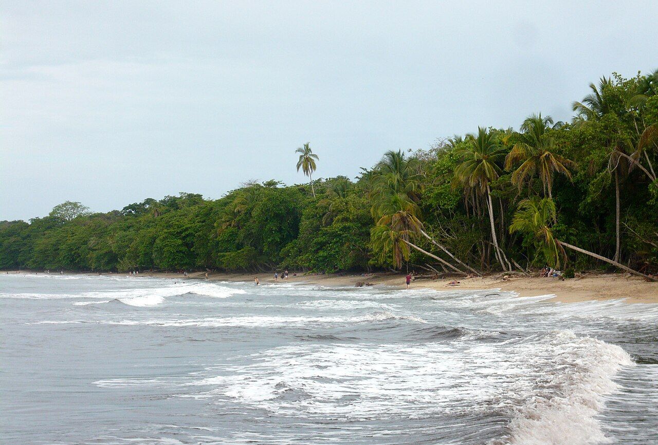
South of town, a coastal road leads past Playa Cocles, Playa Chiquita and Punta Uva to the village of Manzanillo. Cocles has strong rip currents on many days, while Punta Uva is often calmer. Bicycles are a common way to get around. Check conditions before swimming anywhere on this coast, swim where others are swimming, and stay out when the sea is rough. More on reading the water is in the story on surfing the Nicoya peninsula.
Petty theft is a problem in places. Do not leave bags unattended on the beach, and keep valuables out of sight.
Gandoca-Manzanillo
Beyond Manzanillo, the Gandoca-Manzanillo National Wildlife Refuge protects coastal forest, swamps, a lagoon, reefs and beaches almost to the Panamanian border. Unlike a national park, the refuge includes villages and farms within its boundaries.
A trail from Manzanillo follows the coast through forest and over headlands to small coves; it can be muddy and slippery, and some sections are easy to lose, so a local guide is a good idea. Leatherback turtles nest on beaches in the refuge earlier in the year, and the same rules apply as at Tortuguero's nesting beach: no lights, no flash, and visits only with authorised guides. Dolphins are sometimes seen offshore; boats should keep their distance and never chase them.
Respect on the coast
The southern Caribbean is not a backdrop. Greet people, learn a few words of the local Creole if you are interested, and take time to understand the coast's history rather than treating its culture as a style. Eat at family-run places, buy from local makers, and ask before photographing people or homes. Respect the pace of life and Sunday quiet.
Spend your money where it stays on the coast. Local guides, cooks, farmers and craftspeople keep the area's culture alive, and choosing them over imported options makes a real difference. If you visit a cacao farm or an Indigenous community project, go with an invitation and listen more than you talk.
The best months are often September and October, when the Pacific side is at its wettest, and again around February and March. Rain can still come at any time. Buses run from San José to Cahuita and Puerto Viejo, and the drive takes four hours or more depending on traffic and road works; read up on driving and buses.